

Our company undertakes specific field surveys for drawing up topographic studies in support of completing various investment objectives, feasibility/ pre-feasibility studies or technical projects (TP), both for legal entities or individuals.
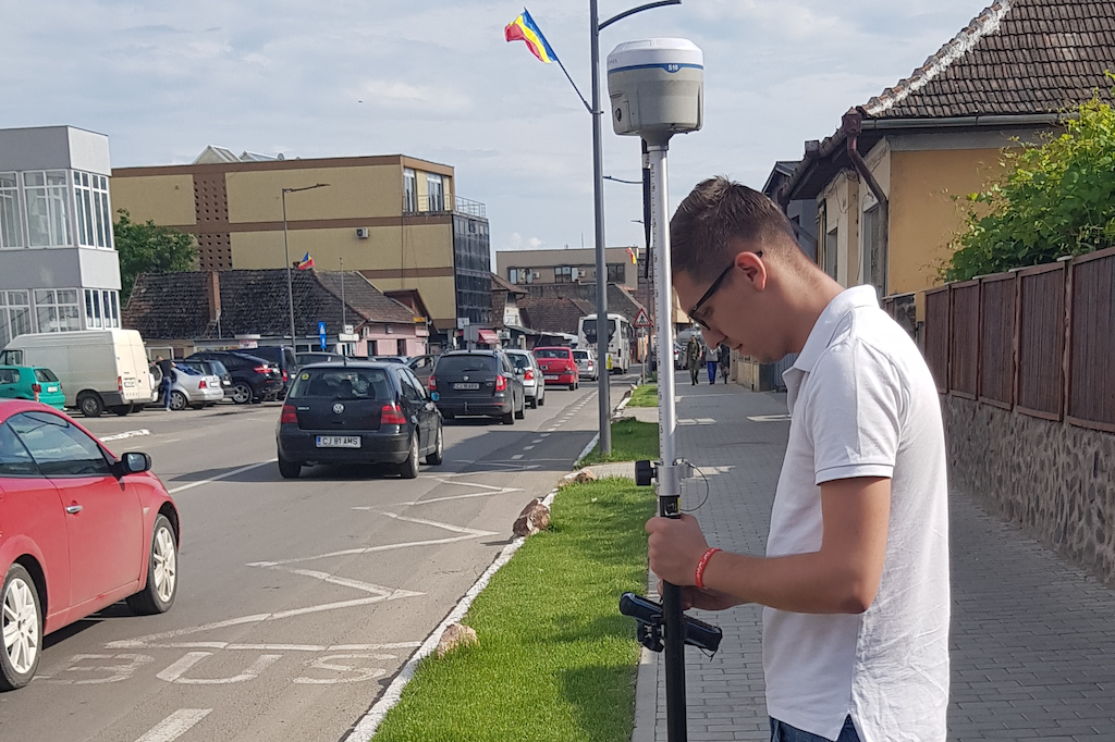
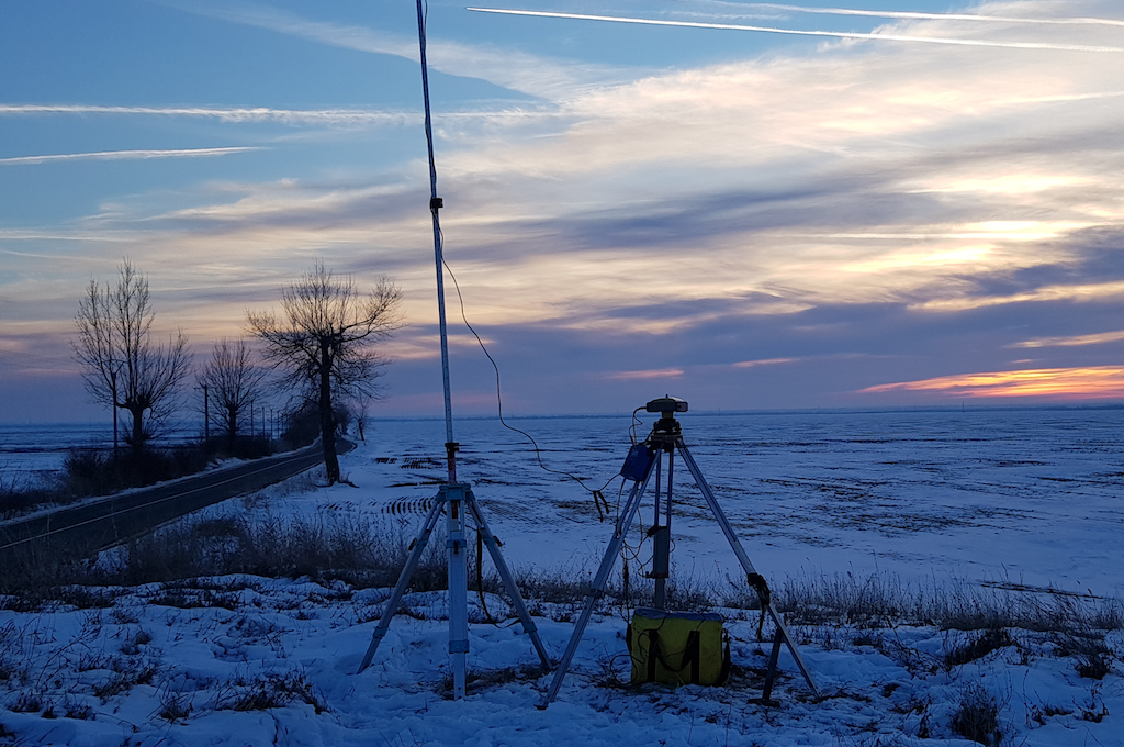
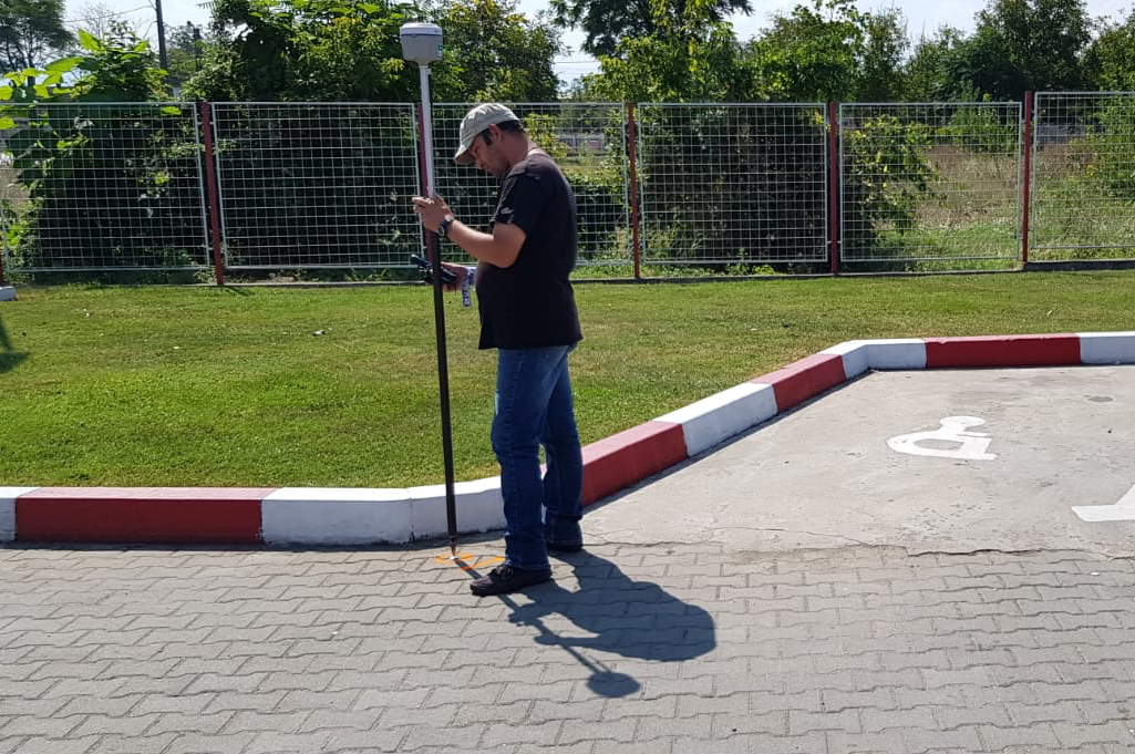
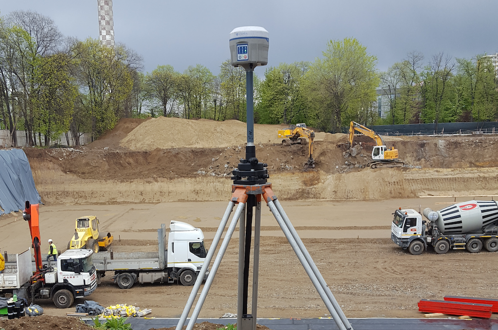
The topographic surveys are executed by the company personnel using latest GNSS equipment, total stations, levels, telemeters, etc. that ensure a high accuracy of the surveys; all data collected on site are processed back in the office by using specific software applications.
Unlike cadastre and land registration services, which require technical approval of the cadastral documentation by the local office for cadaster and land registration, this type of services does not require such approvals and the survey plan is only signed and stamped by the authorized land surveyor. Therefore it takes less time to deliver these services.
Usually the clients need for us to do topographic surveys and draw up 2D and 3D survey plans for various purposes as follows:
- Topographic surveys for preparation of feasibility/ pre-feasibility studies for infrastructure projects:
- Public utilities: water supply, sewage, natural gas, electricity etc.;
- Roads: highways, national roads, county roads and village roads;
- Railways.
- Topographic surveys for drawing up of “AS BUILD” plans after completion of construction works, plans to be included in the Operation and Maintenance Manual of the building. These plans are always required when during the construction works the initial architectural designs are changed.
Thus, in the building exploitation stage the “AS BUILD” plan can be used for maintenance/ modernization/ extension works or for approving new construction works in close vicinity.
This kind of plan is very important especially for the correct identification of the hidden works routes (urban networks, telephone cables etc.
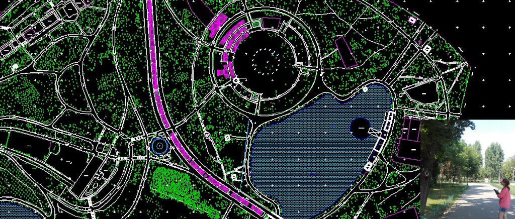
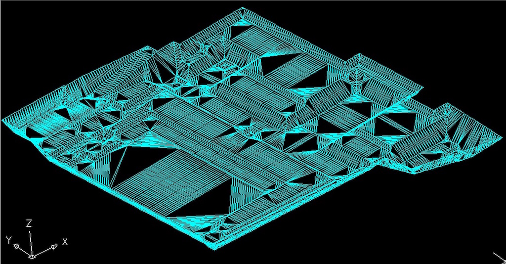
- Topographic surveys for preparation of digital terrain model. Such a survey is completed by preparing a 3D plan (each surveyed point is assigned a tridimensional information: N, E, Z) that containing contours with an equidistance varying depending on the topography found in the studied area. These topographic surveys are requested particularly for the following types of works:
- Starting and monitoring of quarries;
- Calculating the volume of cut/ fill for different civil or industrial construction projects, wind farms or photovoltaic systems;
- Monitoring/ ecologizing/ demolition of the waste or other industrial residues pits
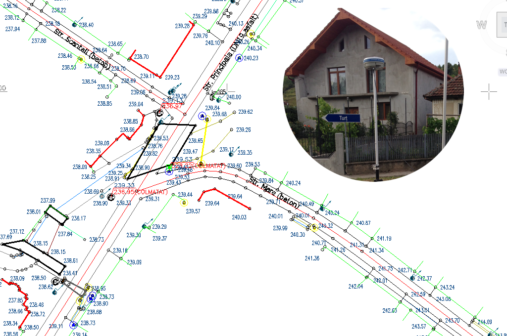
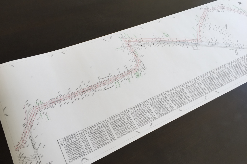
- Topographic surveys for acquiring and drawing up longitudinal and transverse profiles These surveys are used for preparing topographical studies for the execution/ rehabilitation/ extension of linear investment objectives (networks, roads, railways, watercourses etc.)
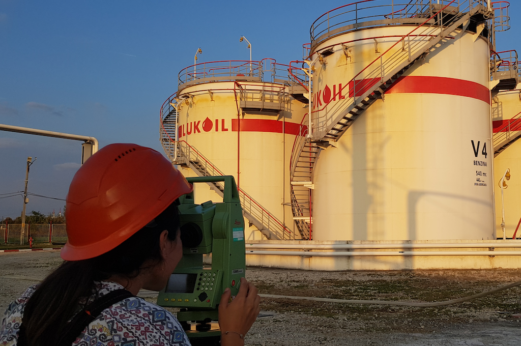
- Topographic surveys for electricity transmission networks, as well as of petroleum, gas, water and sewerage pipelines In this case the topographic surveys are done along the route of the respective network or pipeline by collecting information specific to each type of network/ pipeline (e.g. poles, transformers, the arrow of the wires, survey plan of the pipelines trestle supports, pipelines’ diameter, pipeline insulation type, bridge surveying plan etc.
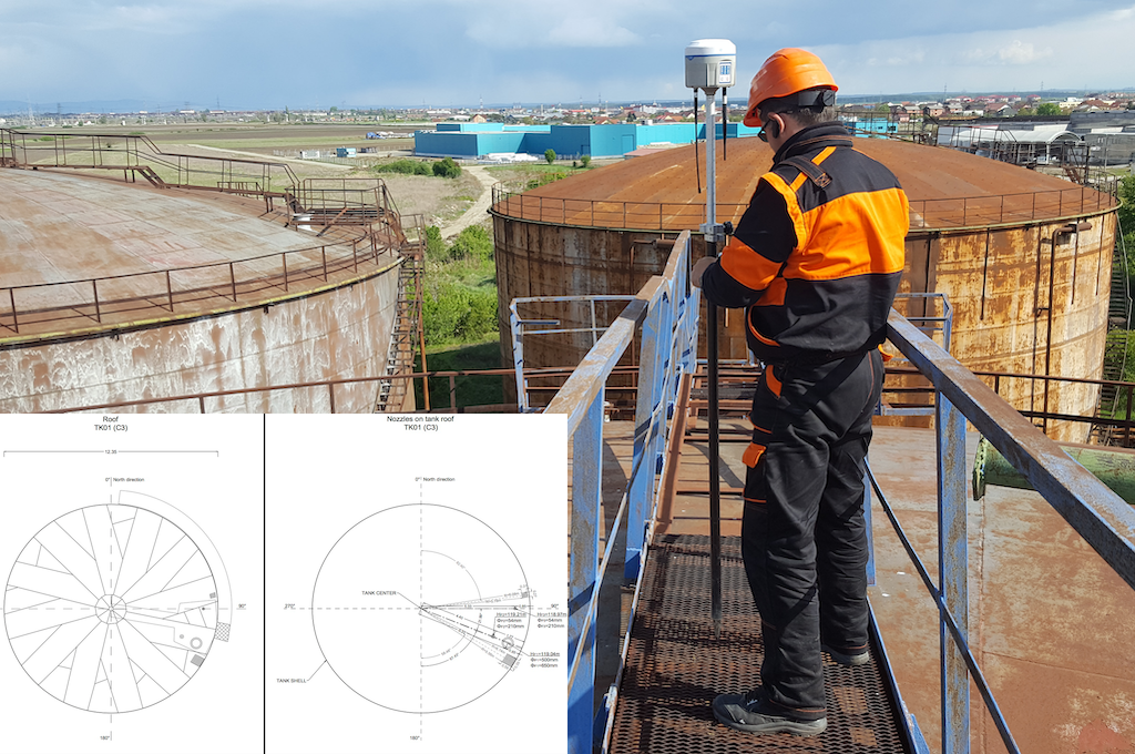
- Topographic surveys for drawing up 3D surveys of bridges, building facades or roofs etc. This type of surveys are useful in projects of building enveloping with the purpose of improving the thermal comfort, in the curtain wall installation projects or projects to renovate existing buildings roofs.
- Topographic surveys for inventory of fixed assets, especially of the ones that are part of the State public domain (forests, green spaces within urban agglomerations, protected trees/ shrubs etc.).
- Topographic surveys for consulting services on cadastre works Extrajudicial expertise – identification of property location and site mapping of the perimeter points, including preparation of Site Mapping Protocol by a surveyor authorized by the National Agency for Cadastre and Land Registration.
Should you be interested in any of the services detailed above, please contact us to send you our offer customized to the your specific requirements.
Even if you do not find the topographic services you need among the ones described above, please contact us and provide more details on your needs. Thus, together with you, we trust we can find the best technical and financial solution for you.


