

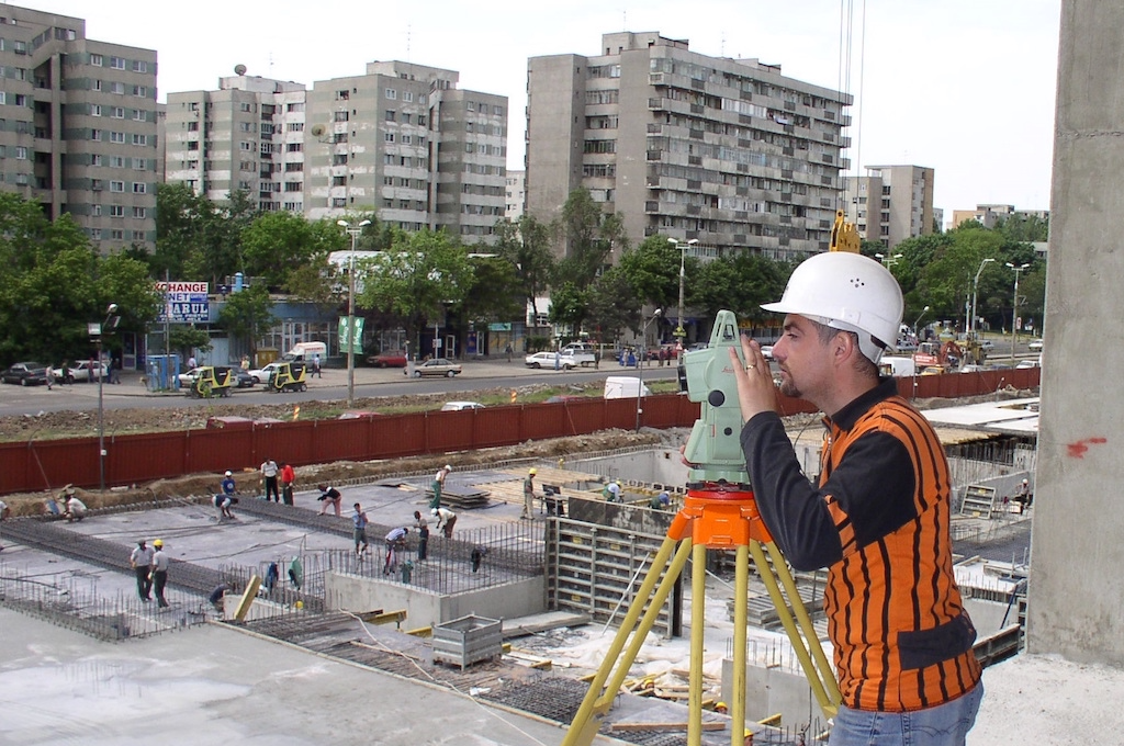
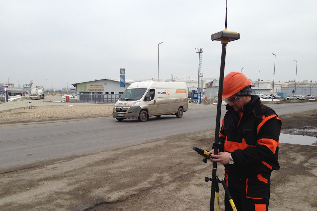
Making the best of having a qualified personnel with over 15 years experience and of using latest equipment and technology , which ensure high precision measurements, our company renders a variety of engineering surveying services and customize these services to the needs of our clients.
Depending on the specific area of applicability, we offer you the following services split in three main categories:
1. Technical assistance and consulting services for construction works:
- Identification of boundaries where the construction/demolition works are to be done;
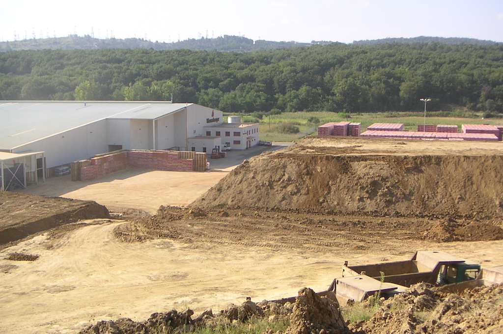
- Topographical survey for the site positioning of the engineering project and for calculation of the excavated volume;
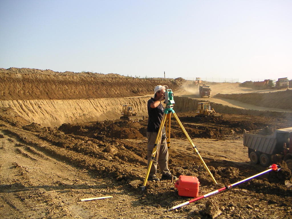
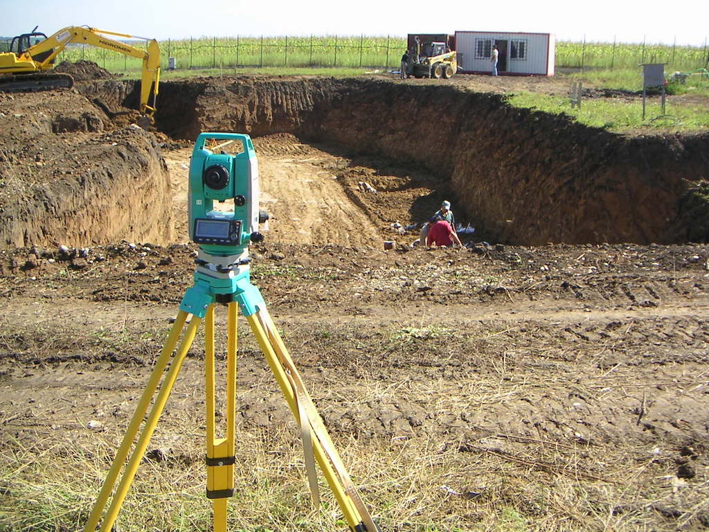
- Execution of the Topographic Construction Network (RTC);
- Stake-out the property lines (boundaries);
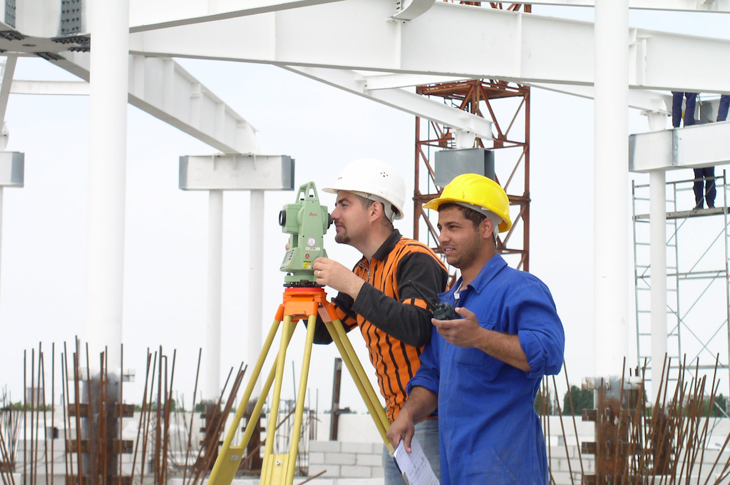
- Stake-out the axes and elevations from the engineering design (accuracies of less than 5 mm for concrete construction projects and of 1-2 mm for metallic construction projects);
- Stake-out the project’s reference points and markers (foundation pit, building contour, sidewalks, networks etc.);
- Surveys and calculations for determining the excavation/ filling volume;
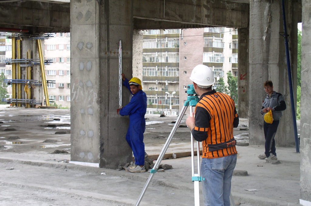
- Transmission of elevations among the construction site elevation marks by using the method of average geometric leveling with double horizon, which ensures a high accuracy of the topographic surveys;
- Determinations for checking the pillars’ verticality;
- Following the behavior of a building in time.
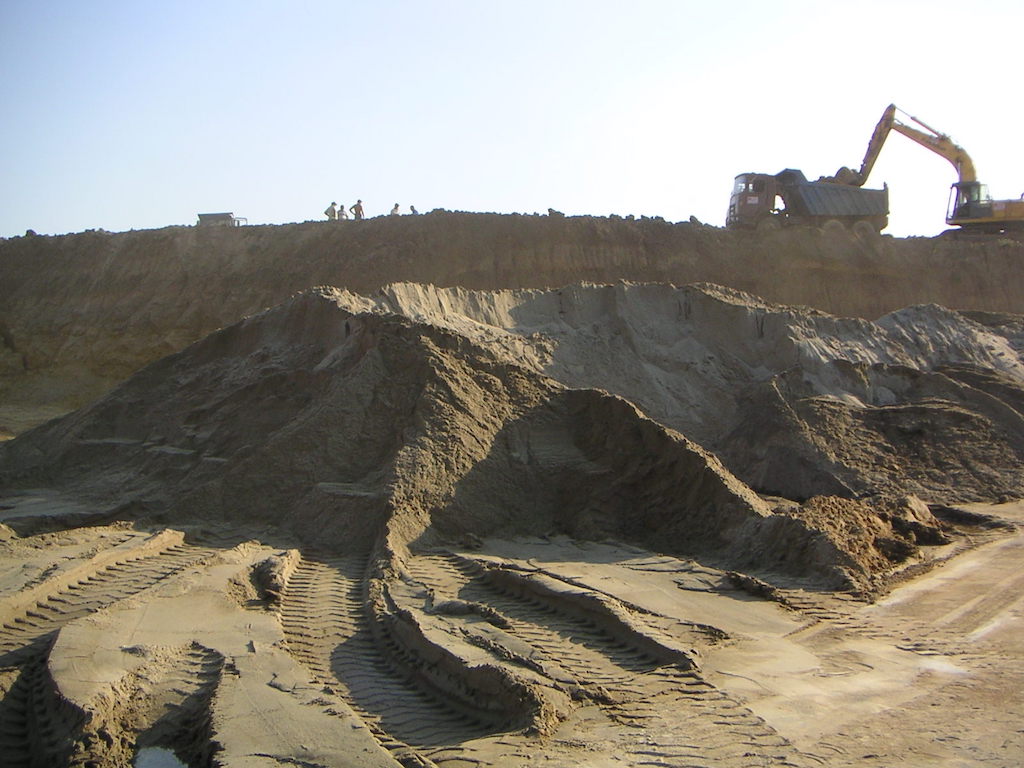
2. Volume calculations of aggregates in quarries, gravel pits and concrete plants:
- Surveys for determination of the excavation volumes;
- Predictive modeling for determining the remaining exploitation volumes in gravel pits and quarries by combining the topographical surveys with the geophysical ones;
- Monitoring of the land sliding areas by successive surveys according to the monitoring theme set by the construction design engineers;
- Oriented profiles drawn as the 3D model;
- Stake out of the exploitation boundaries for avoiding accidental extension of the exploitation outside the approved boundaries/perimeter.
3. Bathymetric surveys:
- Surveys for determining the depth of lakes and watercourses;
- Monitoring the clogging degree of lakes and watercourses;
- Monitoring the excavation progress of gravel pits;
- Cross-sections of lakes and watercourses.
Should you be interested in any of the services detailed above, please contact us to send you our offer customized to the your specific requirements.
Even if you do not find the engineering surveying services you need among the ones described above, please contact us and provide more details on your needs. Thus, together with you, we trust we can find the best technical and financial solution for you.


